The One Ocean Expedition
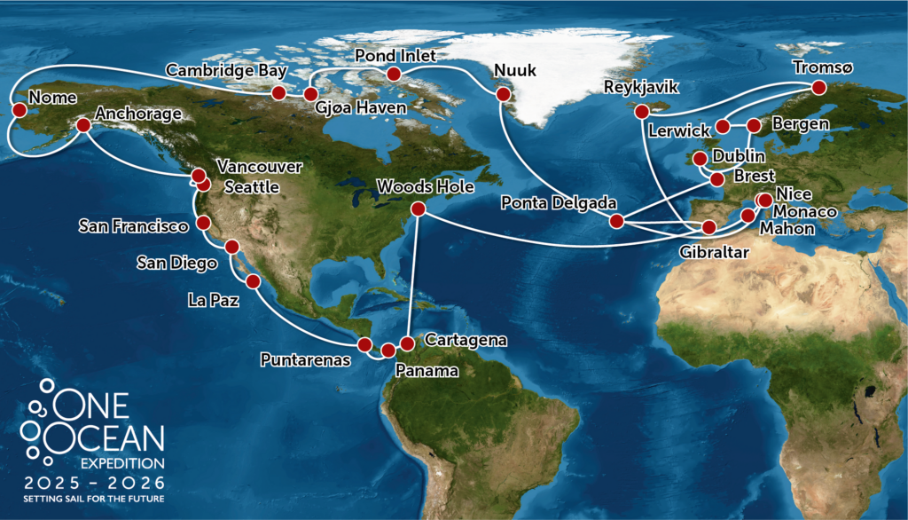
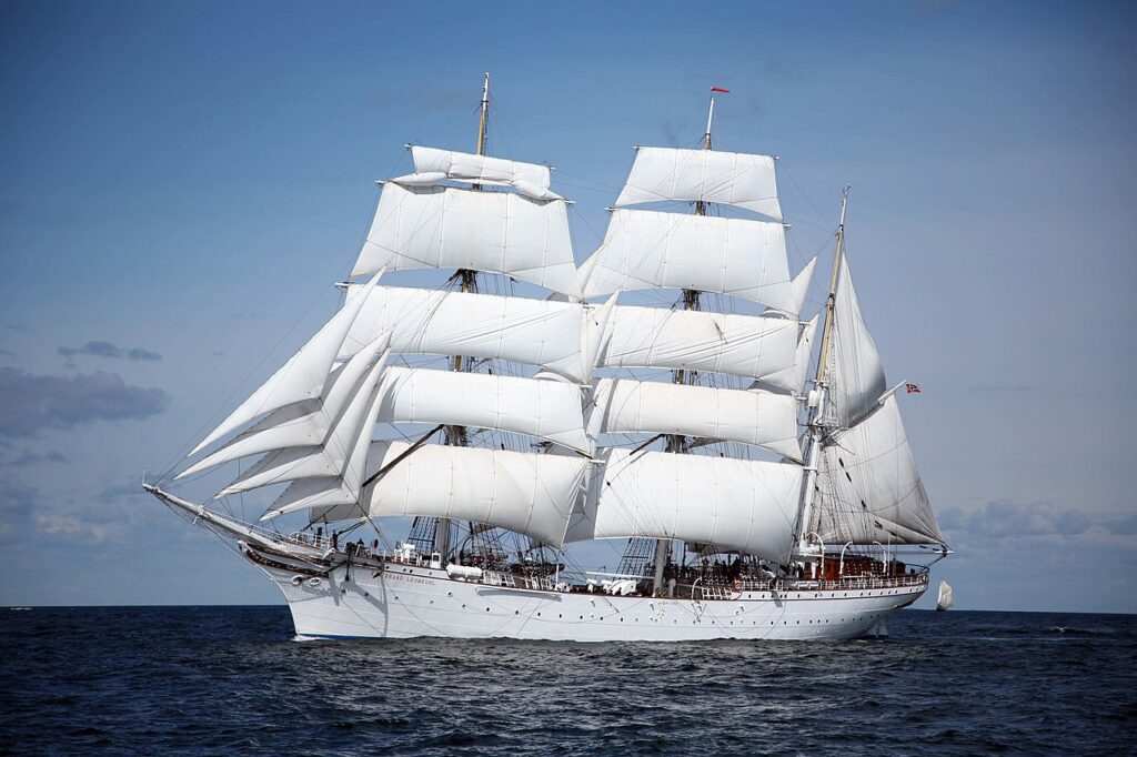
Aboard the tall ship Statsraad Lehmkuhl is contributing to the UN Decade of Ocean Sciences (https://oceandecade.org/) through a circumnavigation the Northern Hemisphere oceans during 2025-2026. The main goal of the One Ocean Expedition is to create attention and share knowledge about the ocean’s crucial role for a sustainable future in a global perspective. This is an important and timely contribution to the United Nations Decade of Ocean Science for Sustainable Development and its slogan “The science we need for the ocean we want“. As such the expedition will serve as a powerful tool for outreach, inspiration and engagement for the ocean.


The ESA OTC25 will take place during the One Ocean voyage from Tromsø to Reykjavik and Reykjavik to Nice in April-June 2025.
The ship has been recently refitted with state-or-the-art ocean science instrumentation and will collect high quality data of ocean physics, chemistry and biology continuously throughout the journey. Measurements while on passage include
| Instrument | Measured Parameters |
| Meteorological Station | Wind speed and direction, atmospheric temperature, humidity, downwelling solar radiation flux |
| Navigation | Position, course and speed made good. |
| Automatic Information System (AIS) | AIS bulletin and derived ocean surface currents |
| Drone | Sunglitter measurements from drone cameras up to ~500m altitude around the ship (launch and landing from ship deck) |
| Thermal infrared Radiometer | Sea Surface Skin temperature (SSTskin) |
| Hull monted thermistor | SST at ~1.5 m depth |
| Towed Sea Snake | Temperature and Salinity in top 1m of the ocean surface |
| Conductivity, Temperature and Depth (CTD) Seabird SBE19plus | Temperature, Conductivity, Pressure and other parameters (depending on rig) from surface to 1500m depth. |
| CTD Compact Seabird – 12×2.5 litre bottles | Water samples fired at user defined depth |
| Wet Laboratory | CTD water management and analysis, underway pumped supply, eDNA analysis etc. |
| Hull mounted Acoustic Doppler Current Profiler (ADCP) | Ocean current vectors in top ~800m |
| Ferrybox/SooGuard system | the pCO2 measurement is not available |
| Echosounder | Sonar-based technology used for measuring water depth and mapping underwater topography by emitting sound pulses and analyzing the returning echoes. |
| Wave Sensor | Sea State |
| Hydrophone | Acoustic monitoring from hull mounted sensors can be used for for detection and tracking of marine mammals and in fisheries research |
| Flow Cytometer | This is a laser-based technology for plankton ecology that enables automated counting of individual cells, which can be distinguished based on their specific scatter and fluorescence signatures. |
| Plankton Imager | High resolution fast response cameras together with advanced image processing techniques are a valuable tool for studying marine particles or plankton communities. |
| Towed trawl nets | Trawl nets collect a wide diversity of in water species and microplastics |
| Microplastics | Collection, filtration and analysis. |
You are welcome to bring your own equipment subject to confirmation from the Ship Master and crew. Please mail craig.donlon@esa.int if you would like to do this as soon as possible to initiate discussions.
These measurements allow fundamental upper ocean features to be monitored and linked to satellite data. It will also serve as a floating university bringing crews of students and young leaders together at different legs. High level meetings and public events will happen during port visits. Real time access to data, video and TV from the ship will serve to inspire and engage not only scientists but also citizens for ocean-based action towards sustainable development worldwide.


